Download as PDF, PPTX

![© http://respere.com/ Sahana GIS ... QGIS Sahana [UMN/Mapserver] UMN/Mapserver GeoServer ESRI Server uDIG Sahana-OpenLayers WMS WFS GeoRSS Local / Remote](https://image.slidesharecdn.com/introtofossgis-150618101028-lva1-app6892/75/Introduction-to-FOSS-GIS-36-2048.jpg)
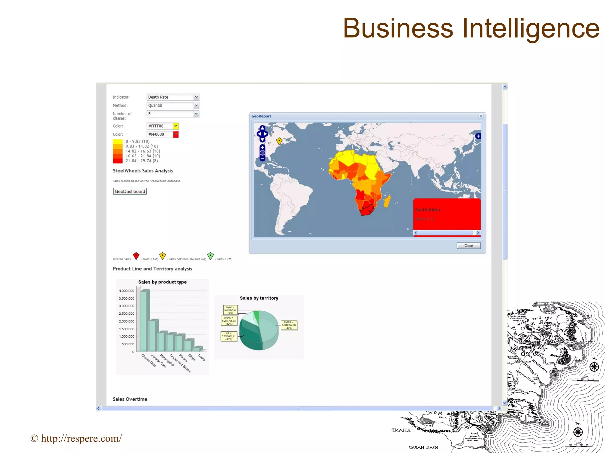
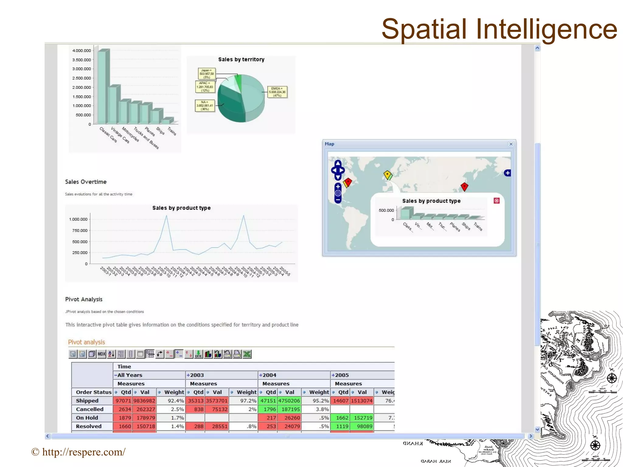
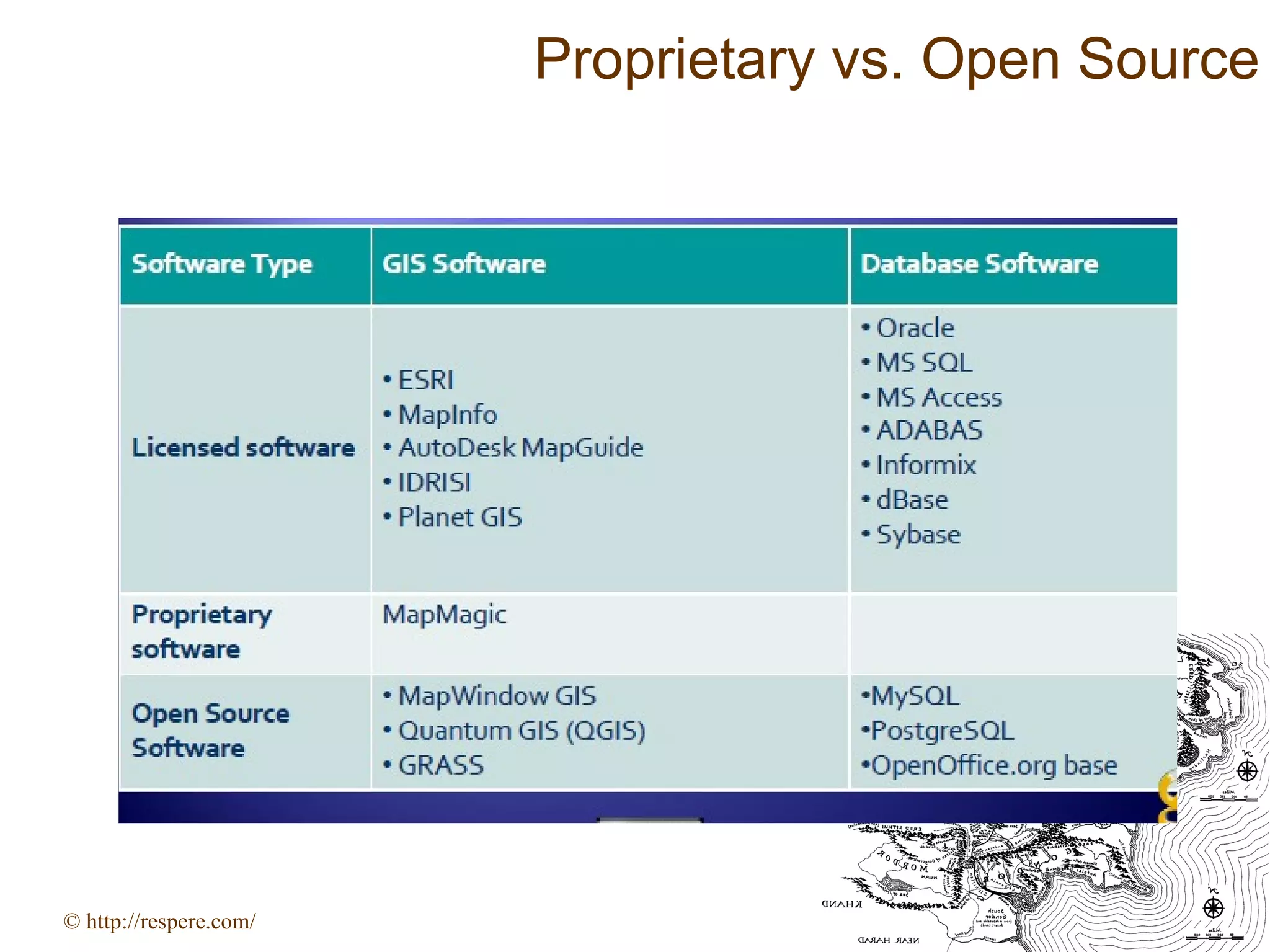
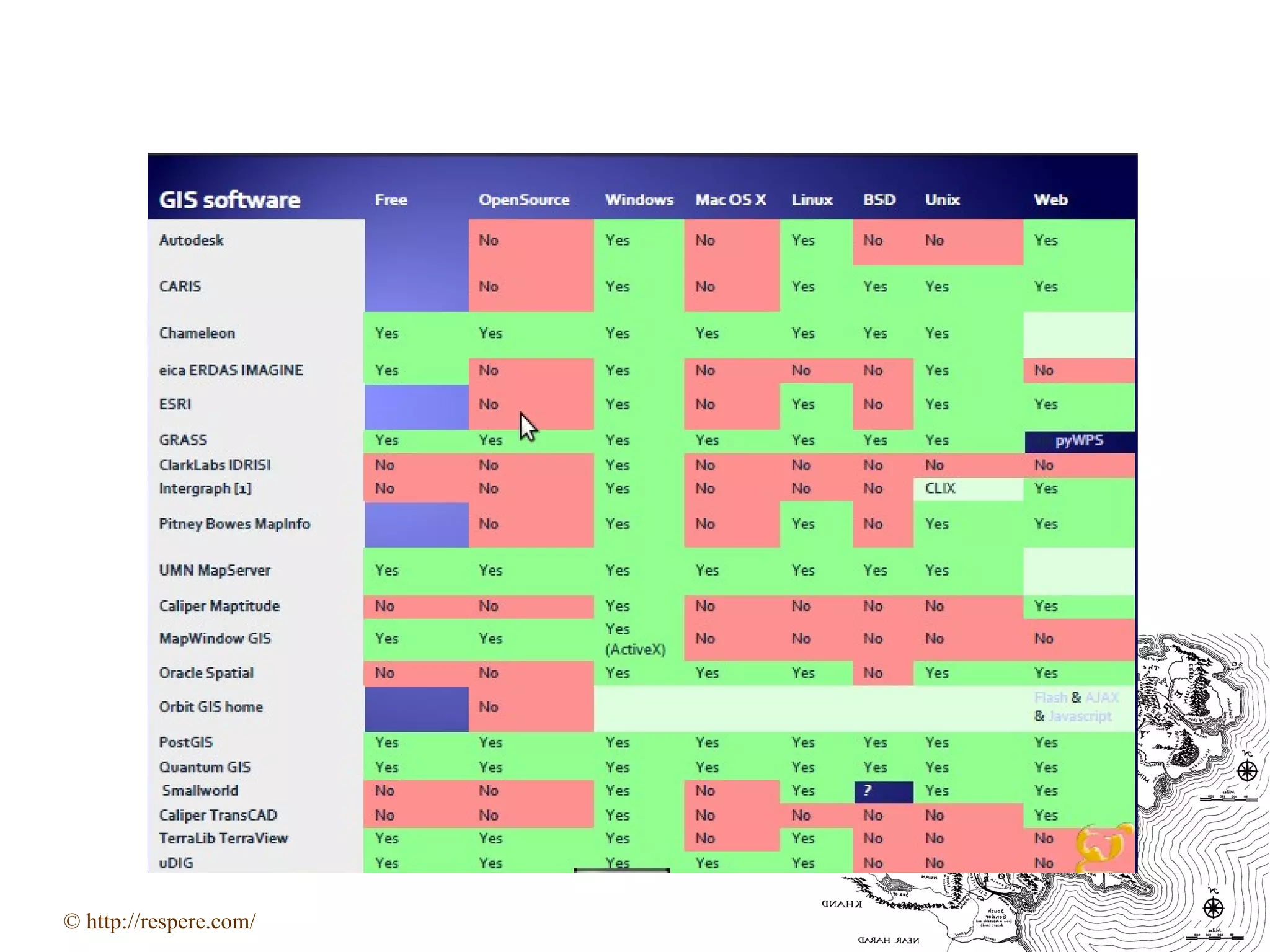


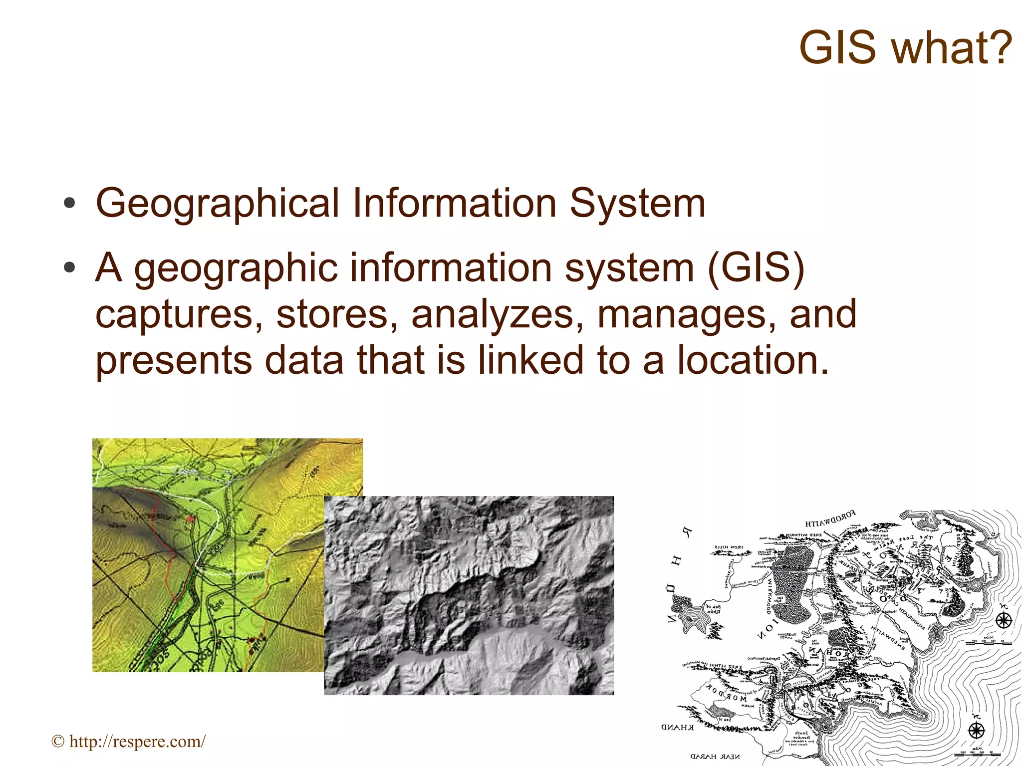
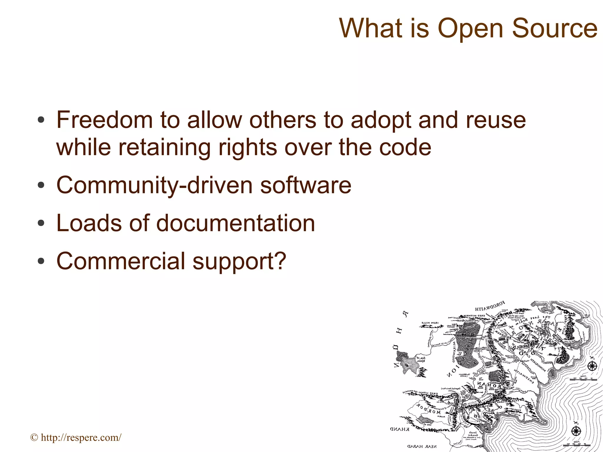
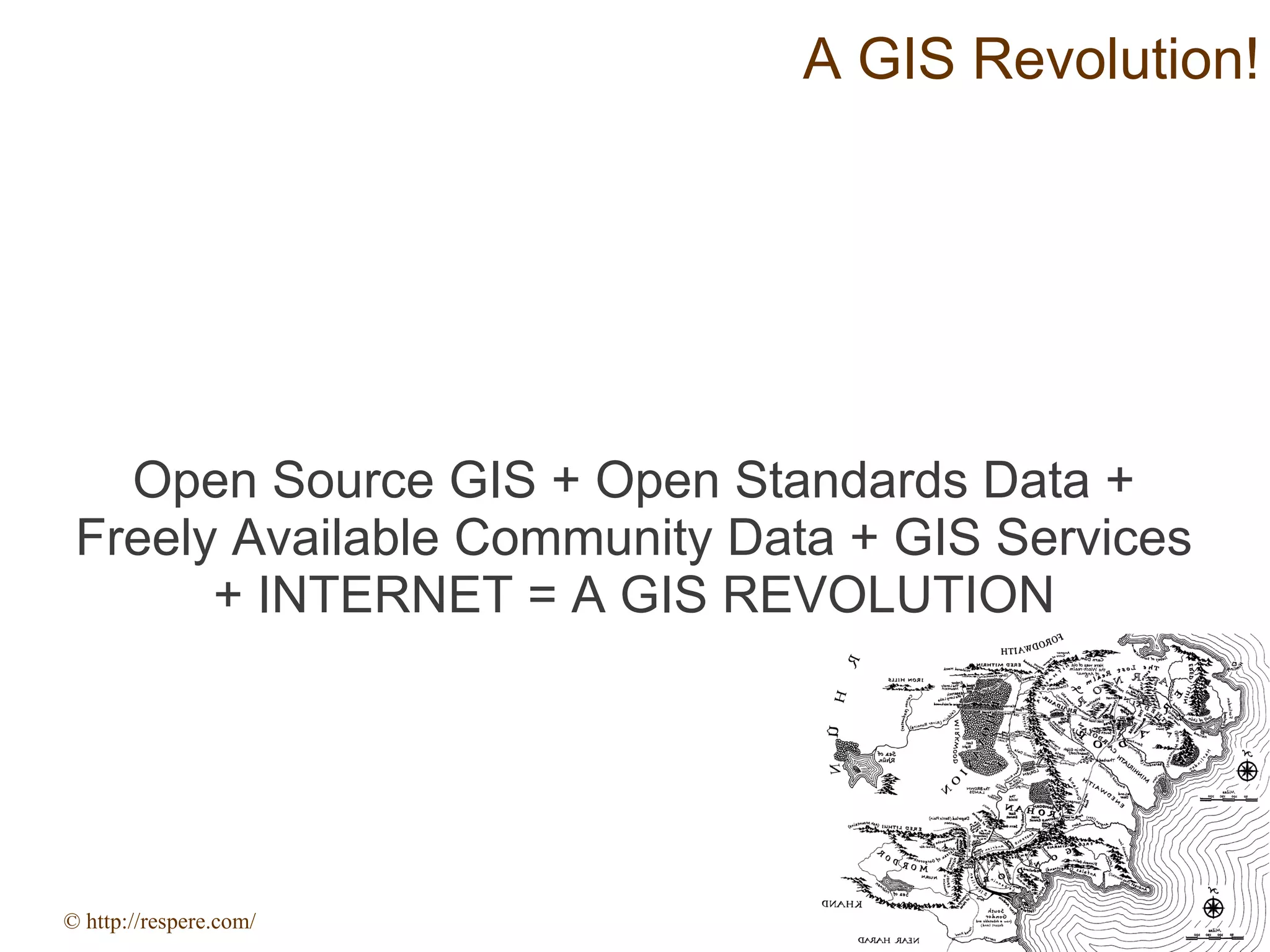
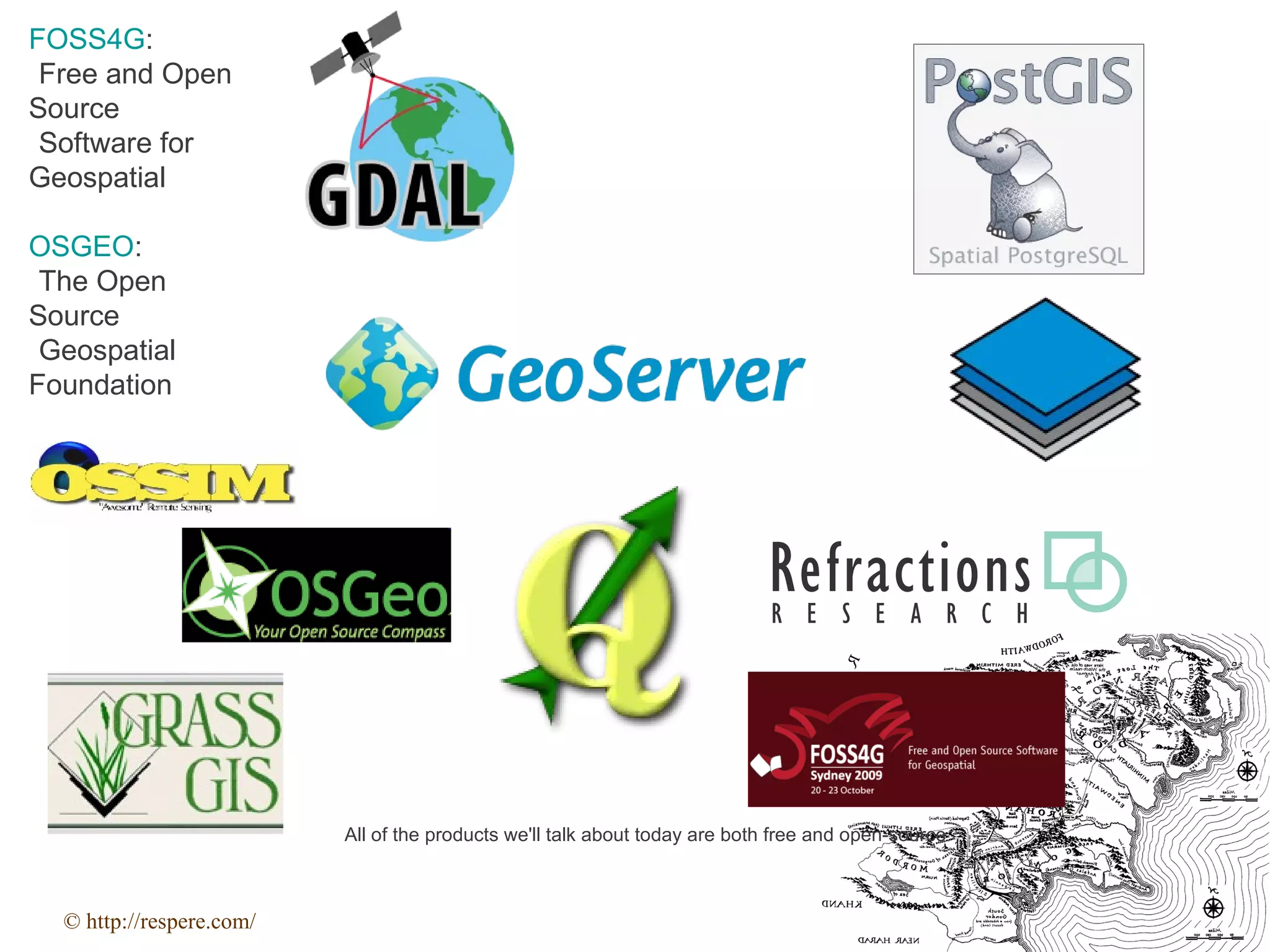
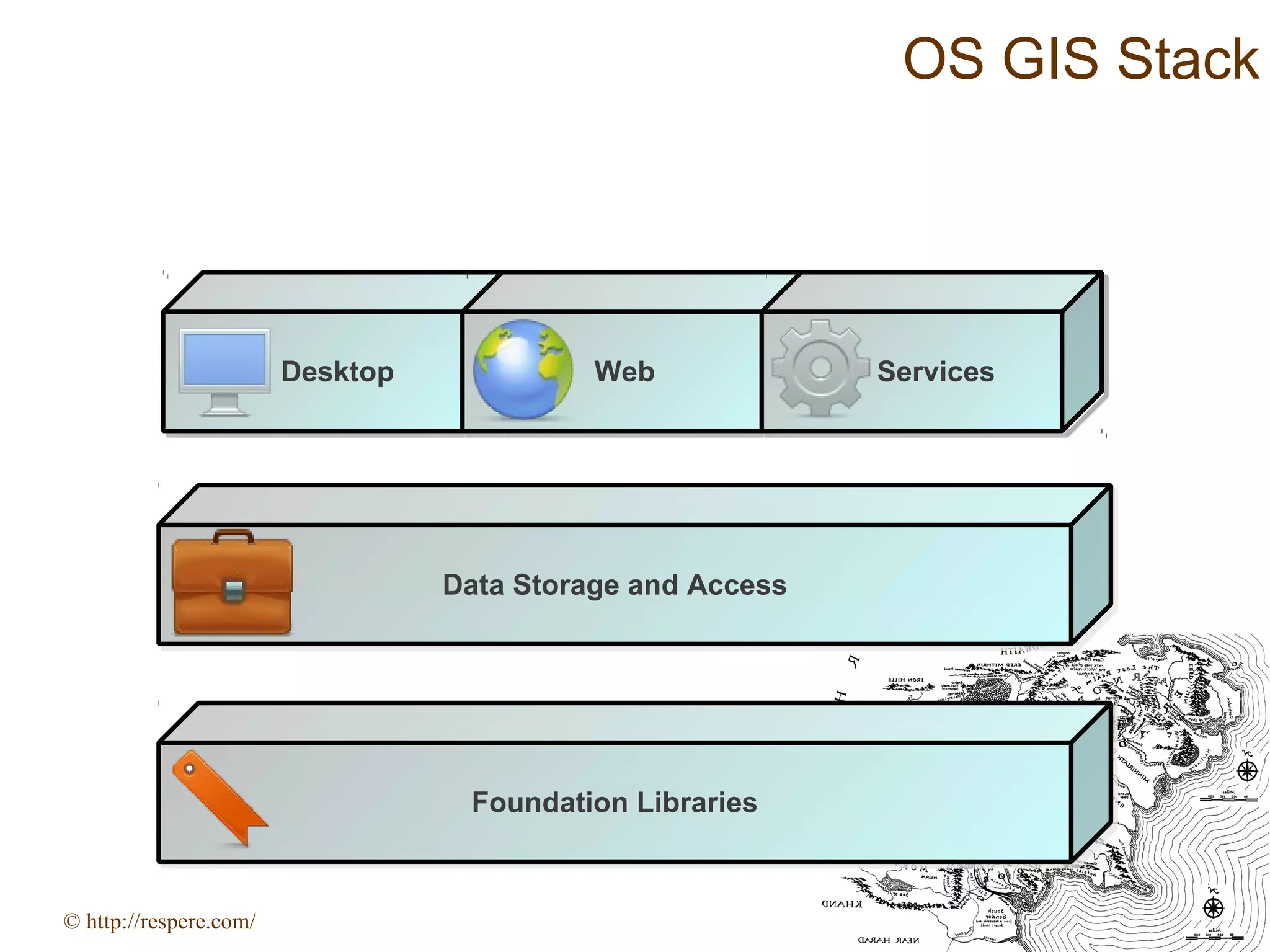
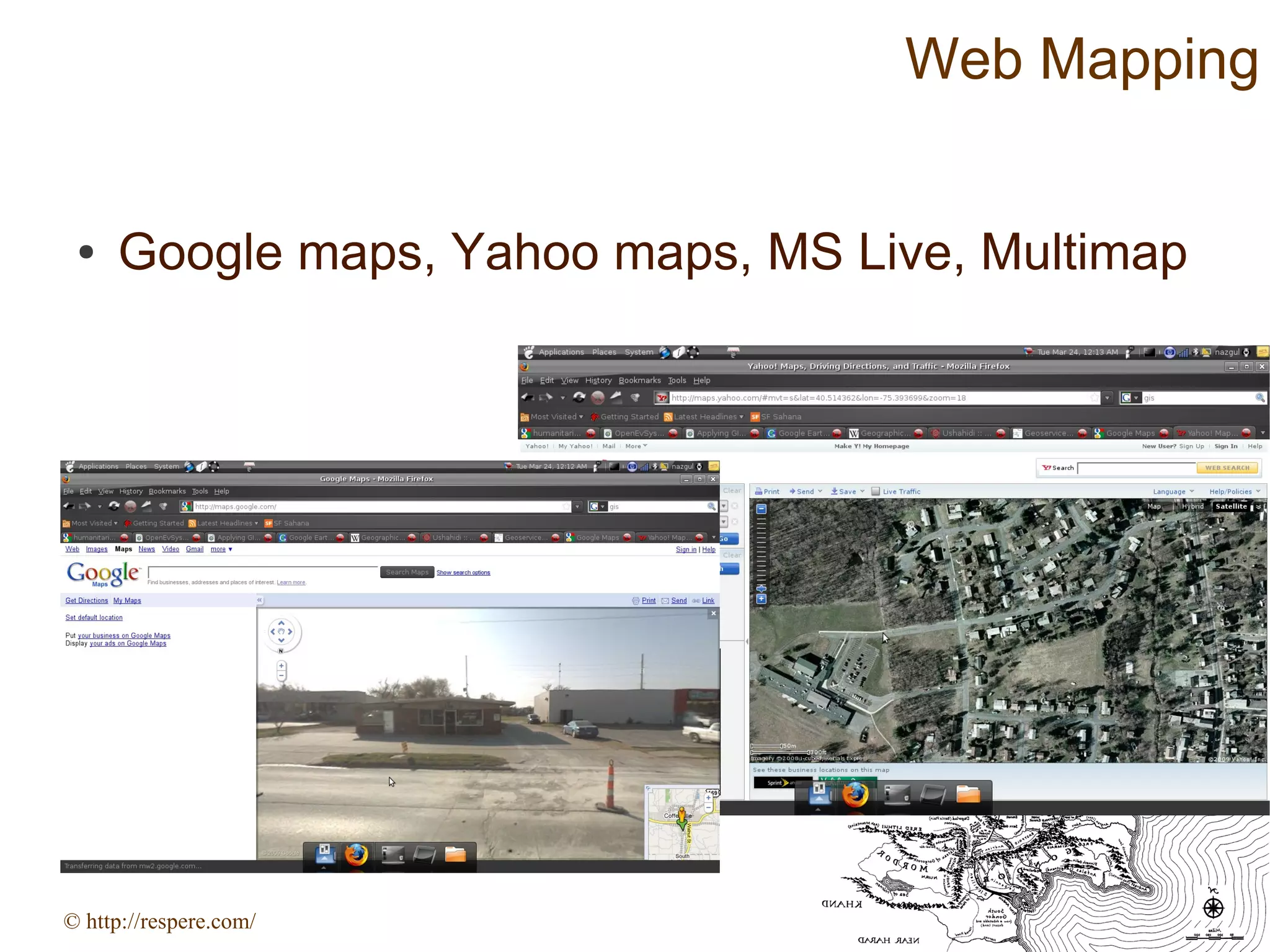
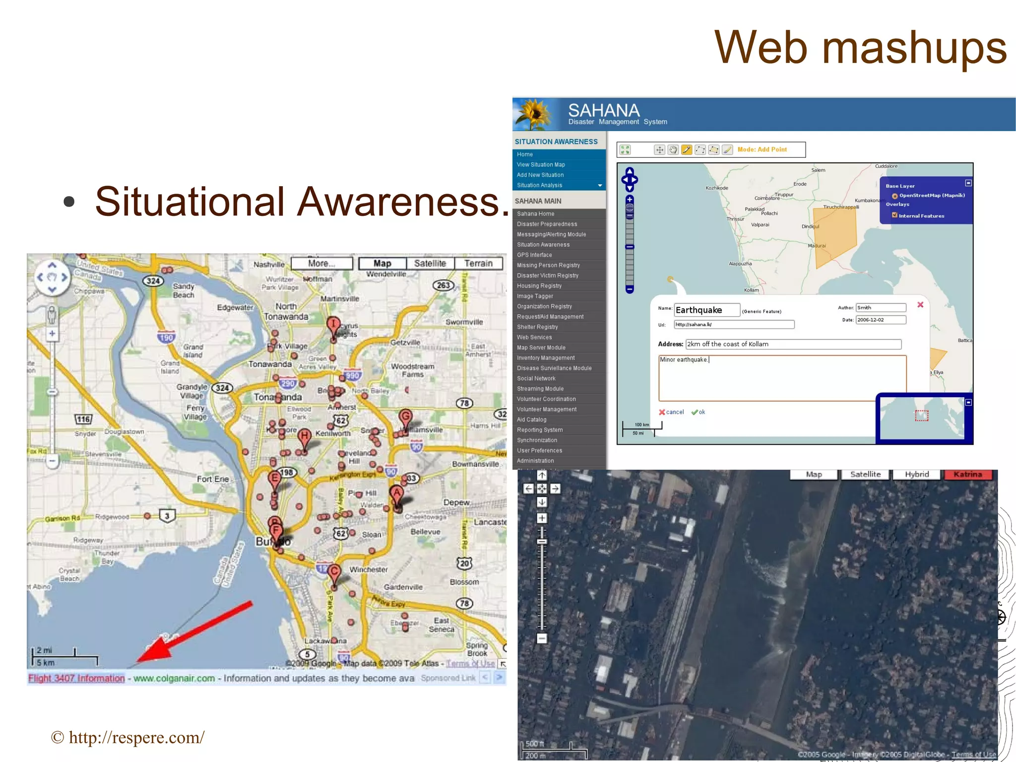
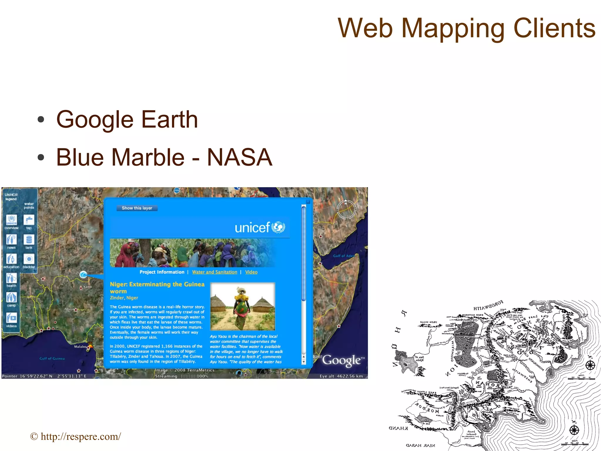
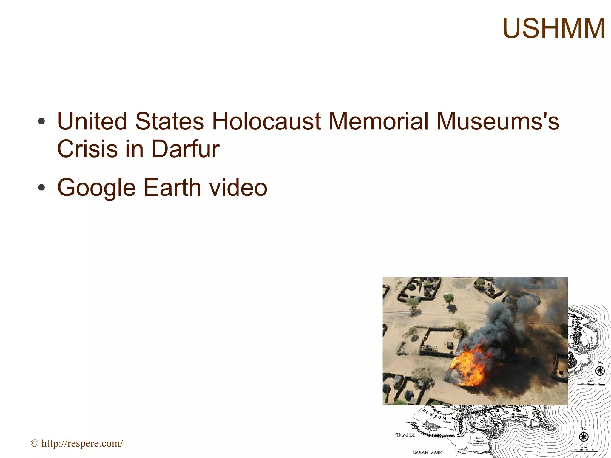
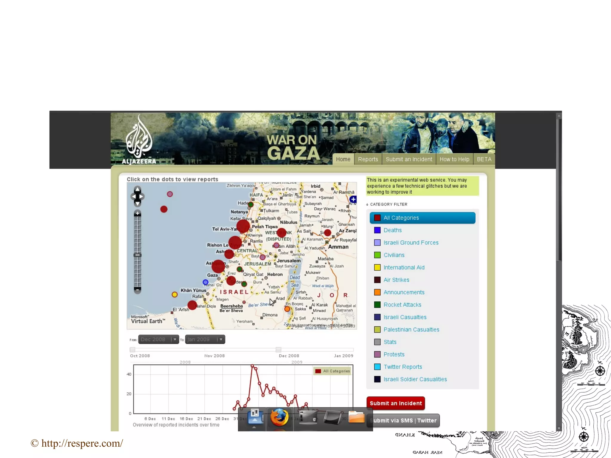
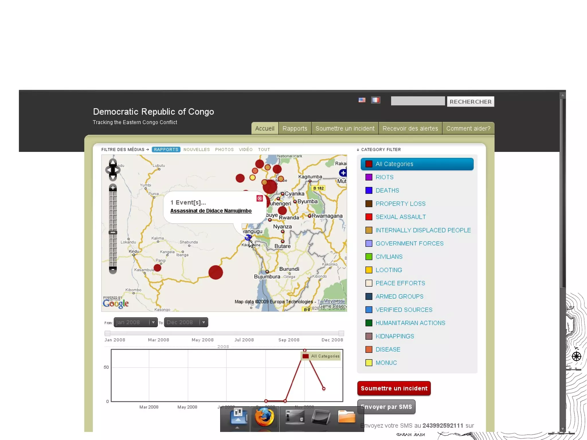
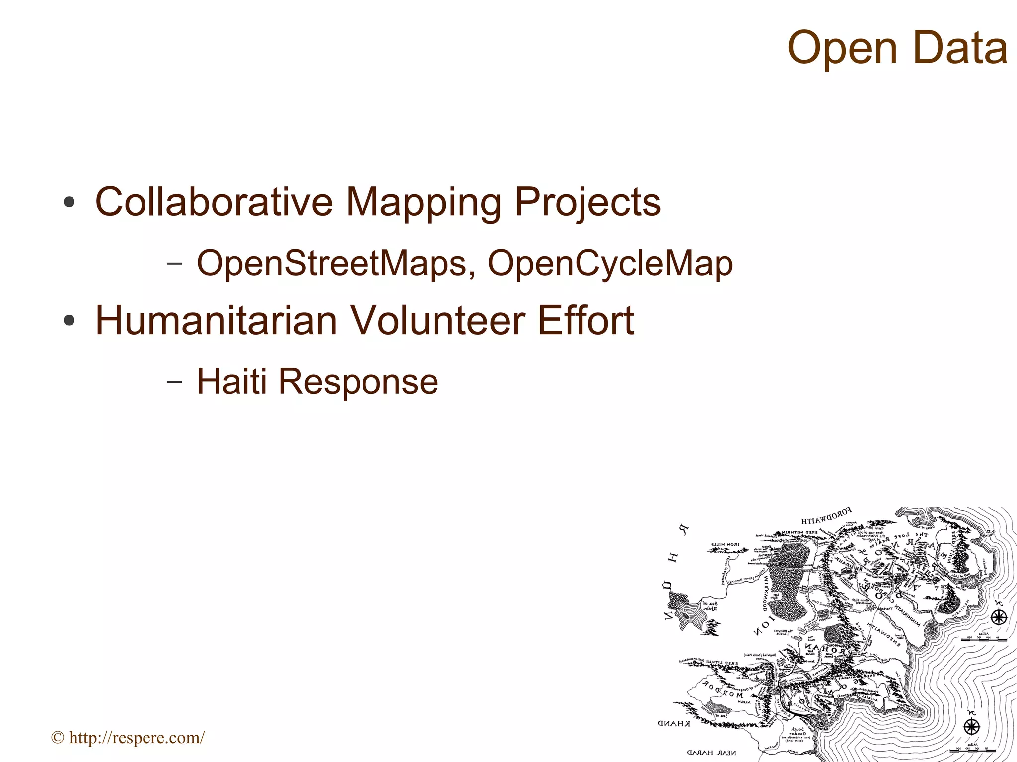
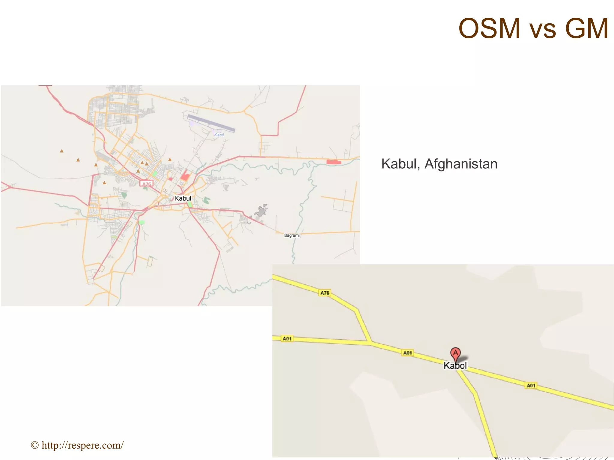
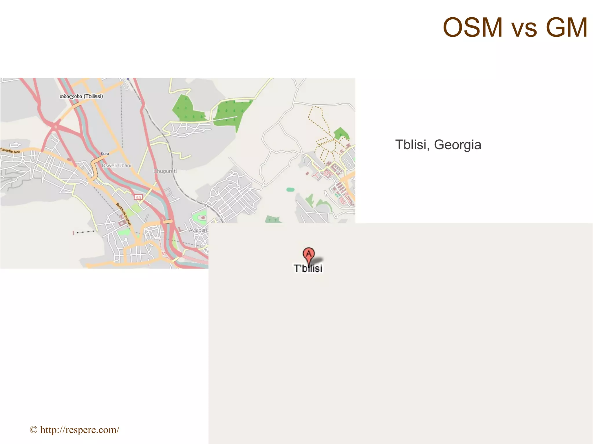
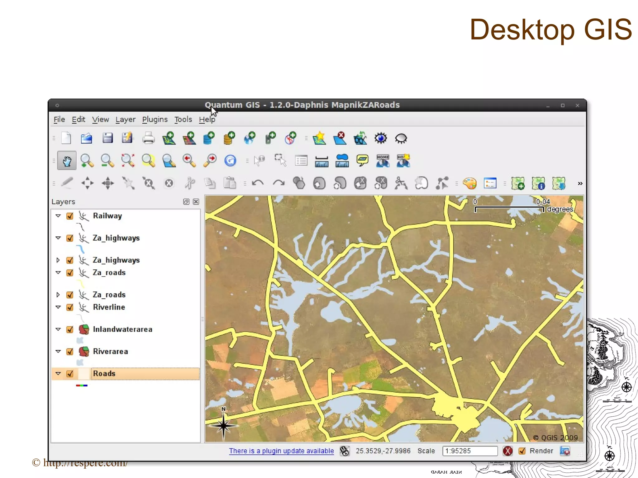
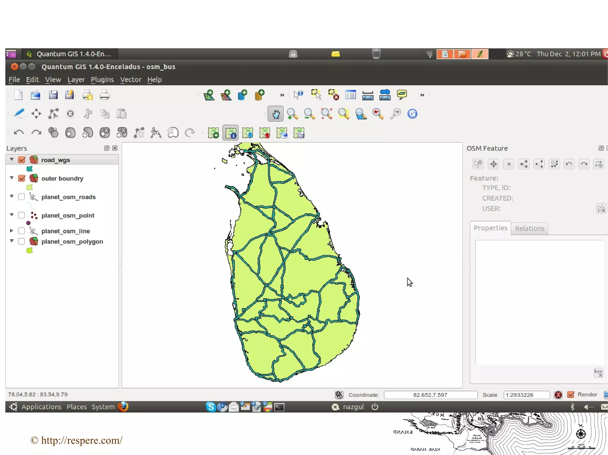
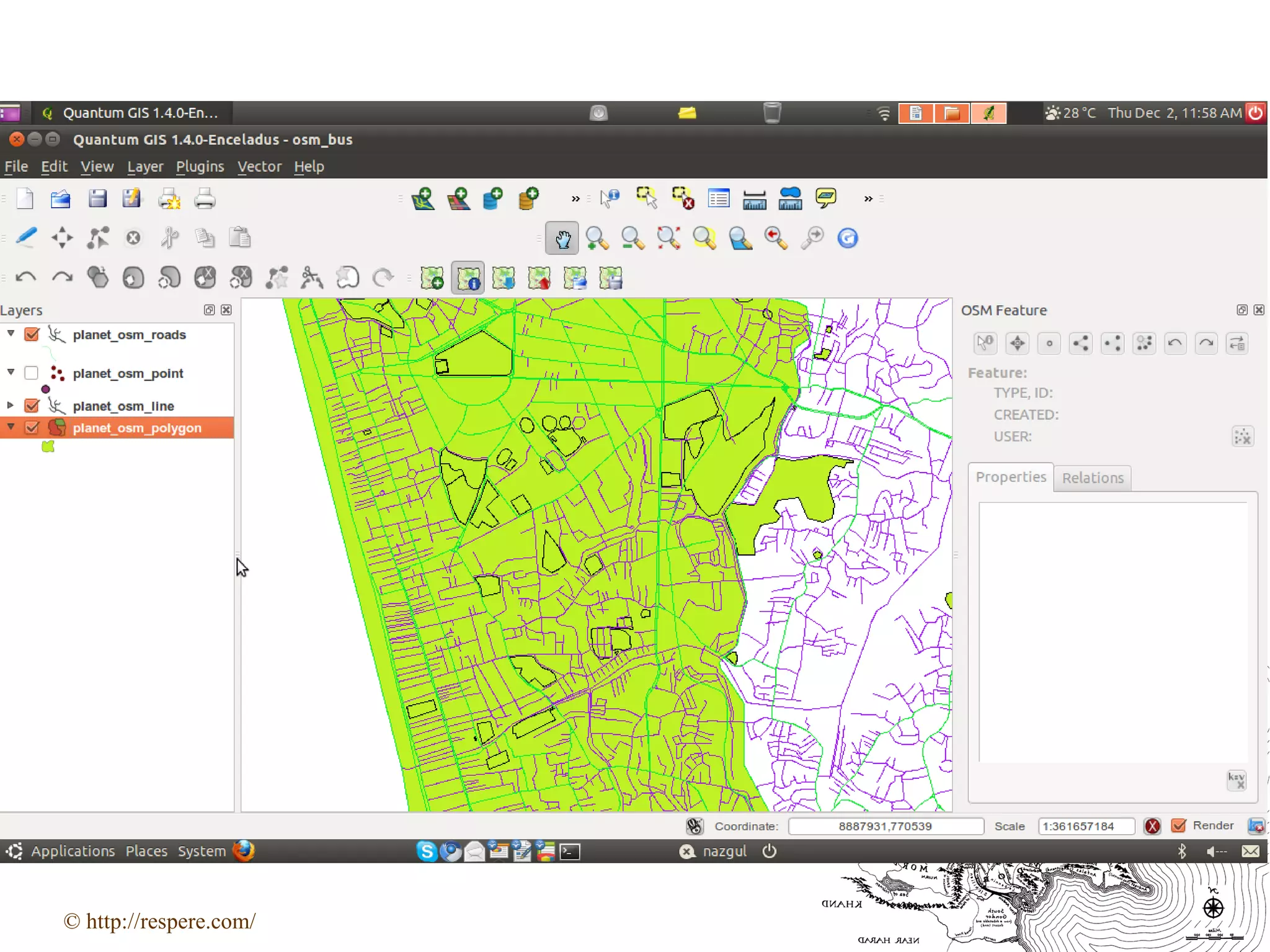
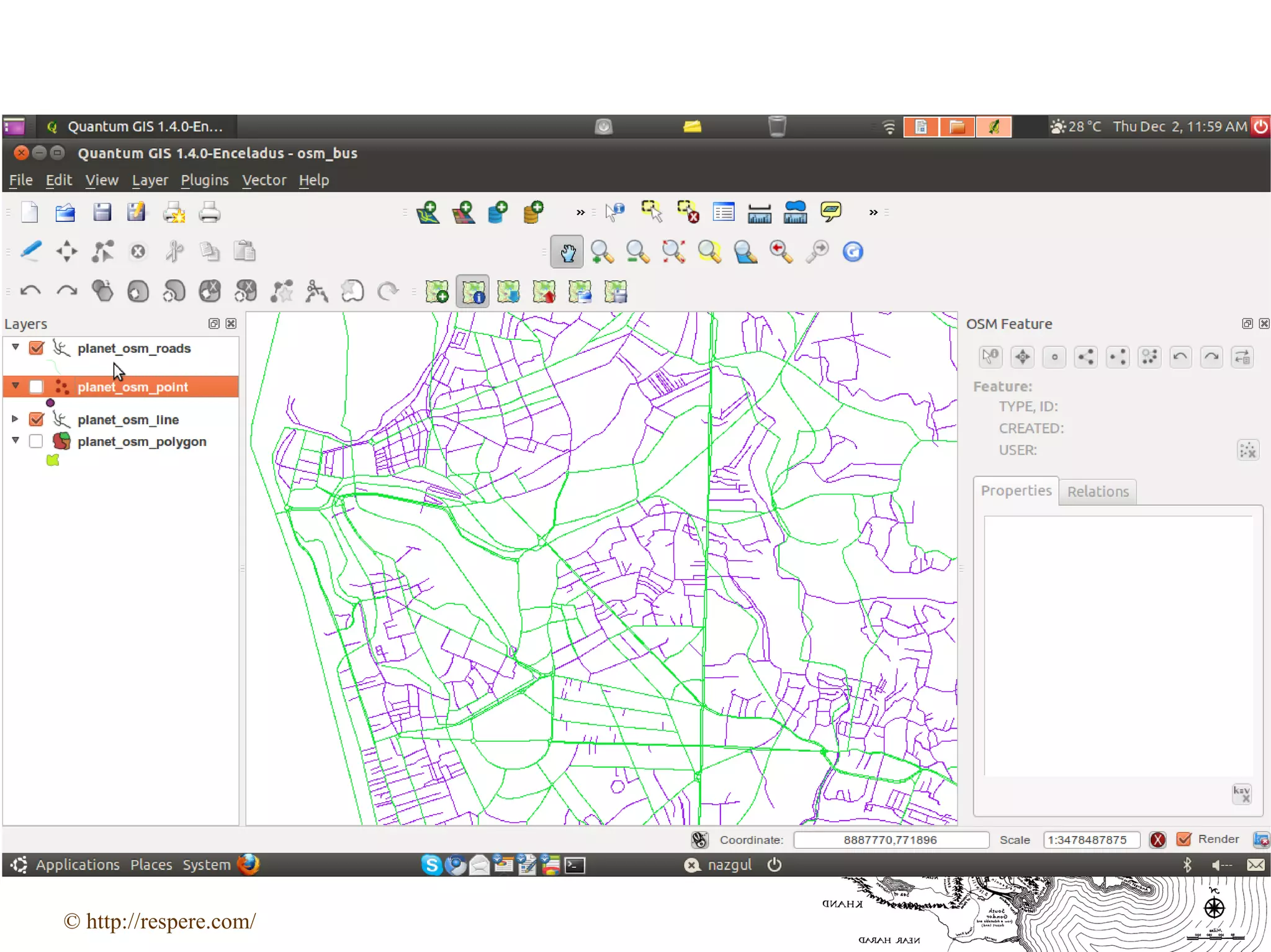
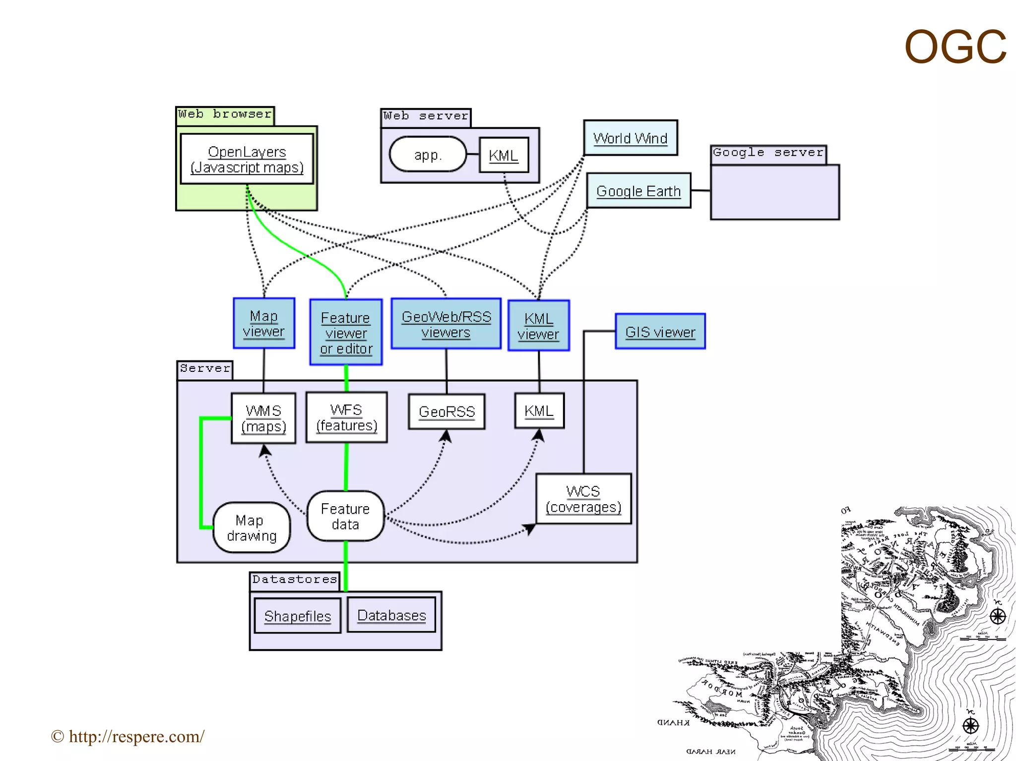
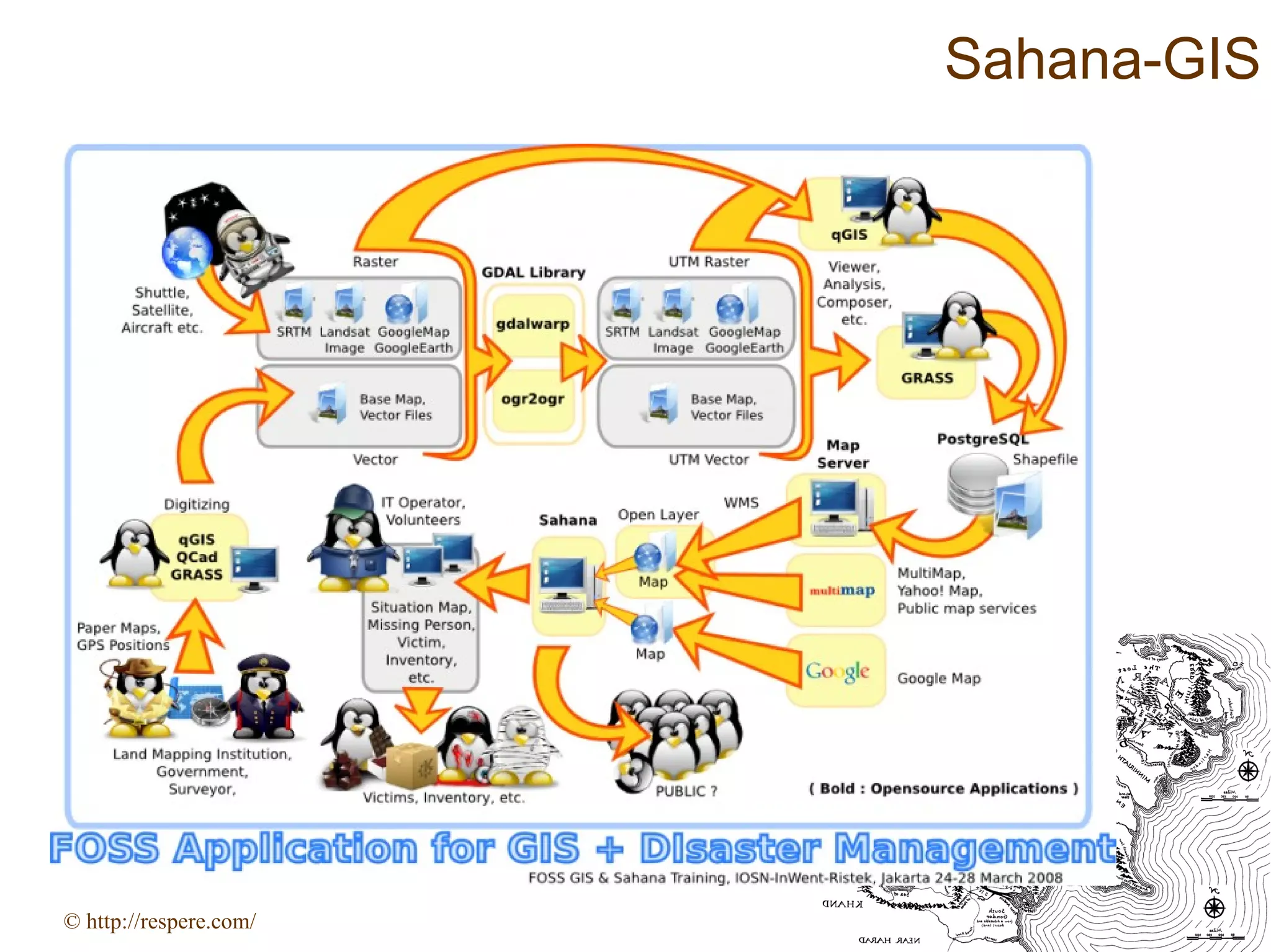
This document provides an overview of open source GIS. It discusses what GIS is and why it is useful, particularly for advocacy and analysis. Open source GIS is described as using open standards to allow data sharing while retaining rights over shared code. The open source GIS stack is made up of foundation libraries, data storage, desktop applications, and web mapping. Popular open source desktop GIS software includes QGIS, uDig, and GRASS. Web mapping has evolved from early proprietary tools to include open source mapping clients and platforms like Ushahidi that allow crisis mapping. Open data sources like OpenStreetMap are also discussed.