Download as PDF, PPTX
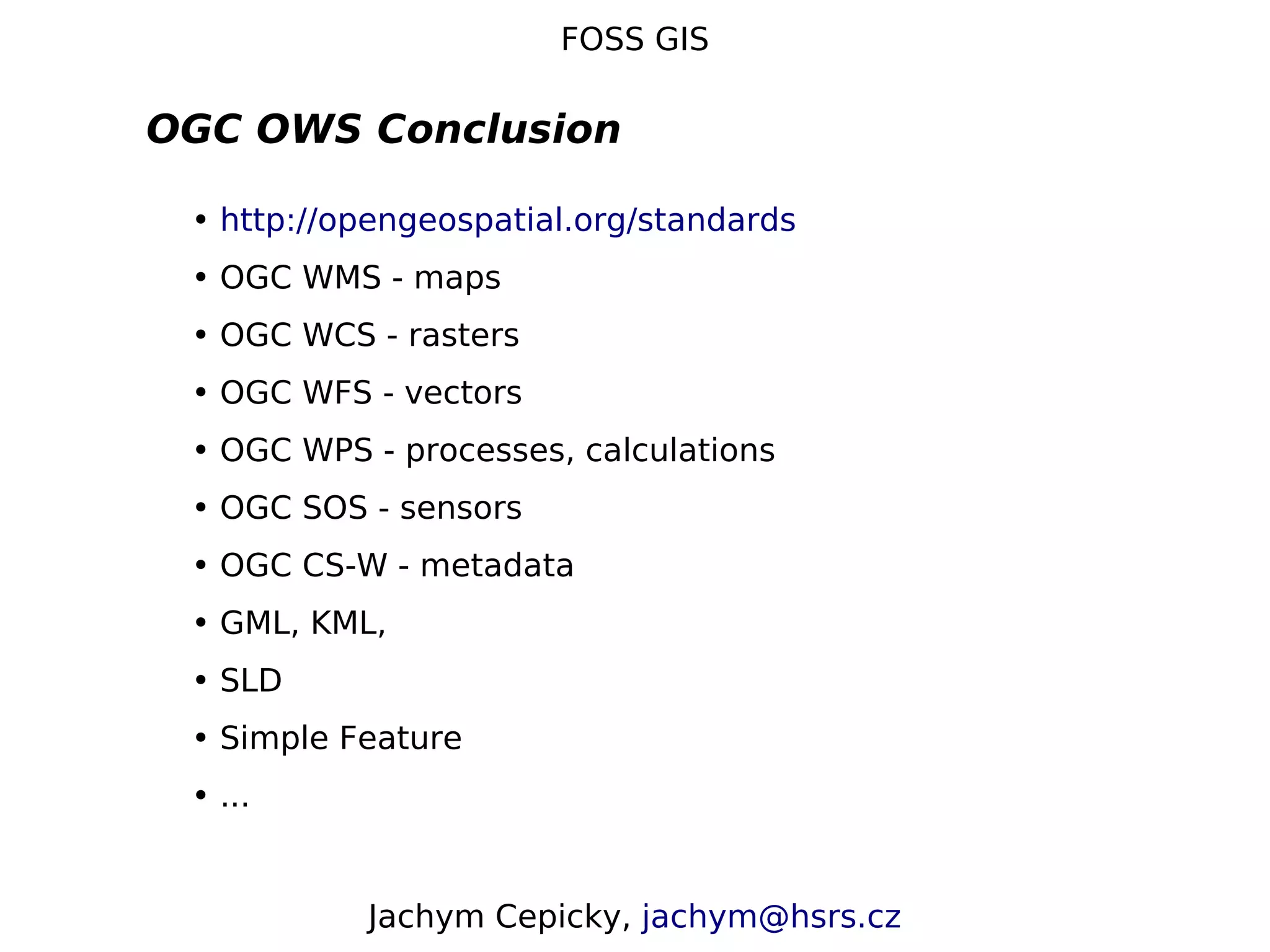
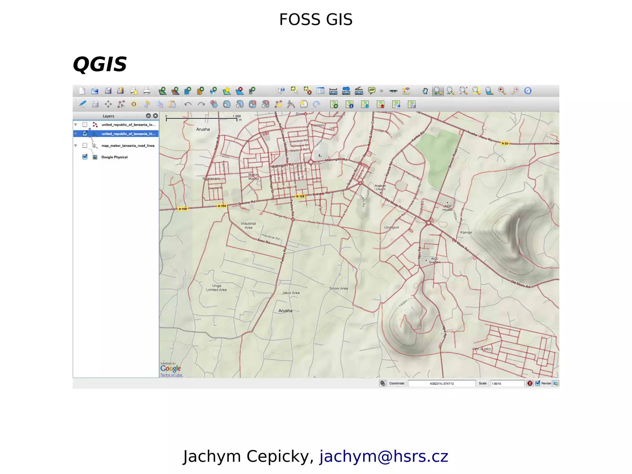
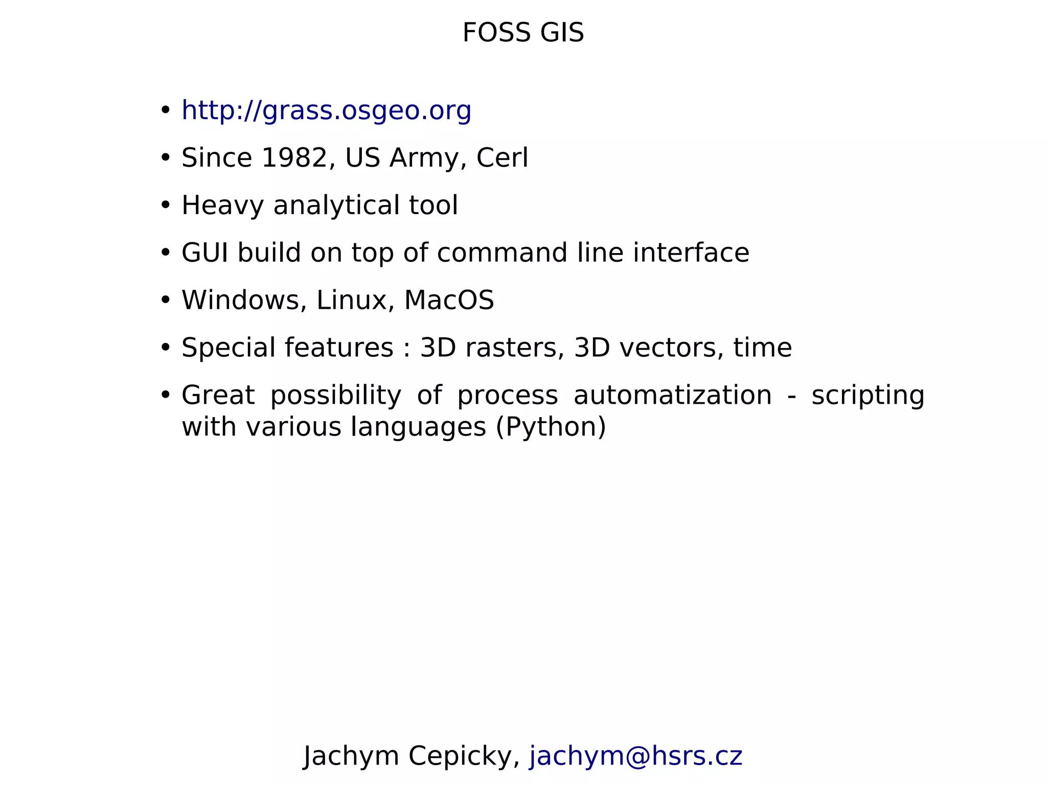

This document discusses open source GIS software. It describes Jachym Cepicky and his involvement with GRASS GIS and PyWPS. It also provides an overview of key topics in open source GIS including common data formats (raster and vector), standards for data transfer including OGC web services, and desktop and server-based open source GIS software like QGIS and GRASS GIS.