Download to read offline


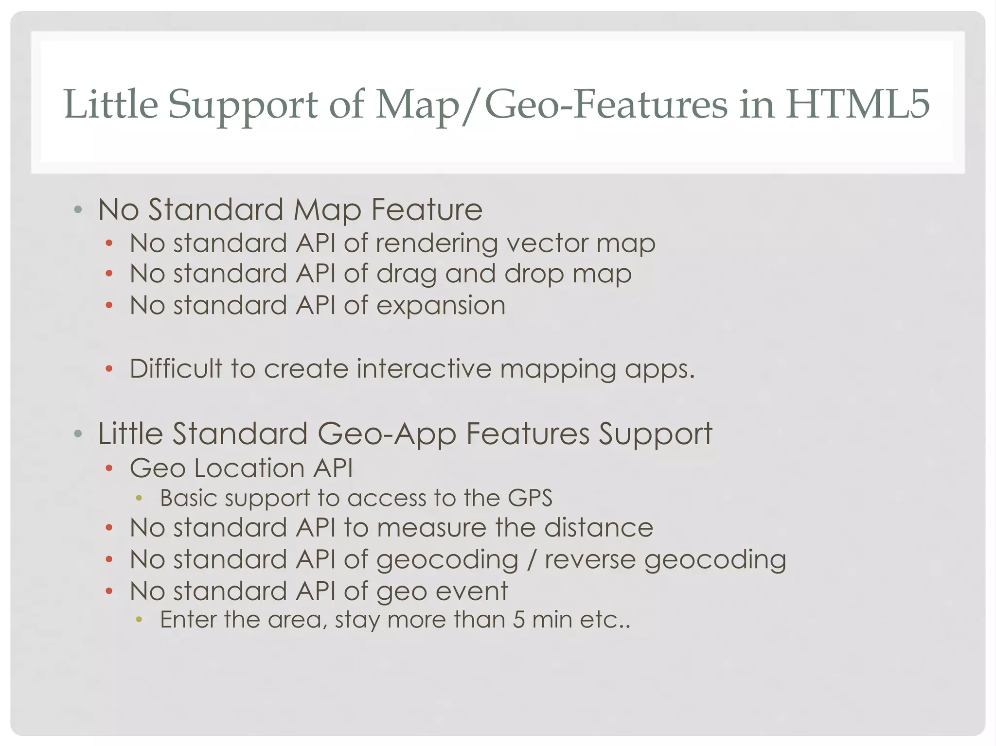
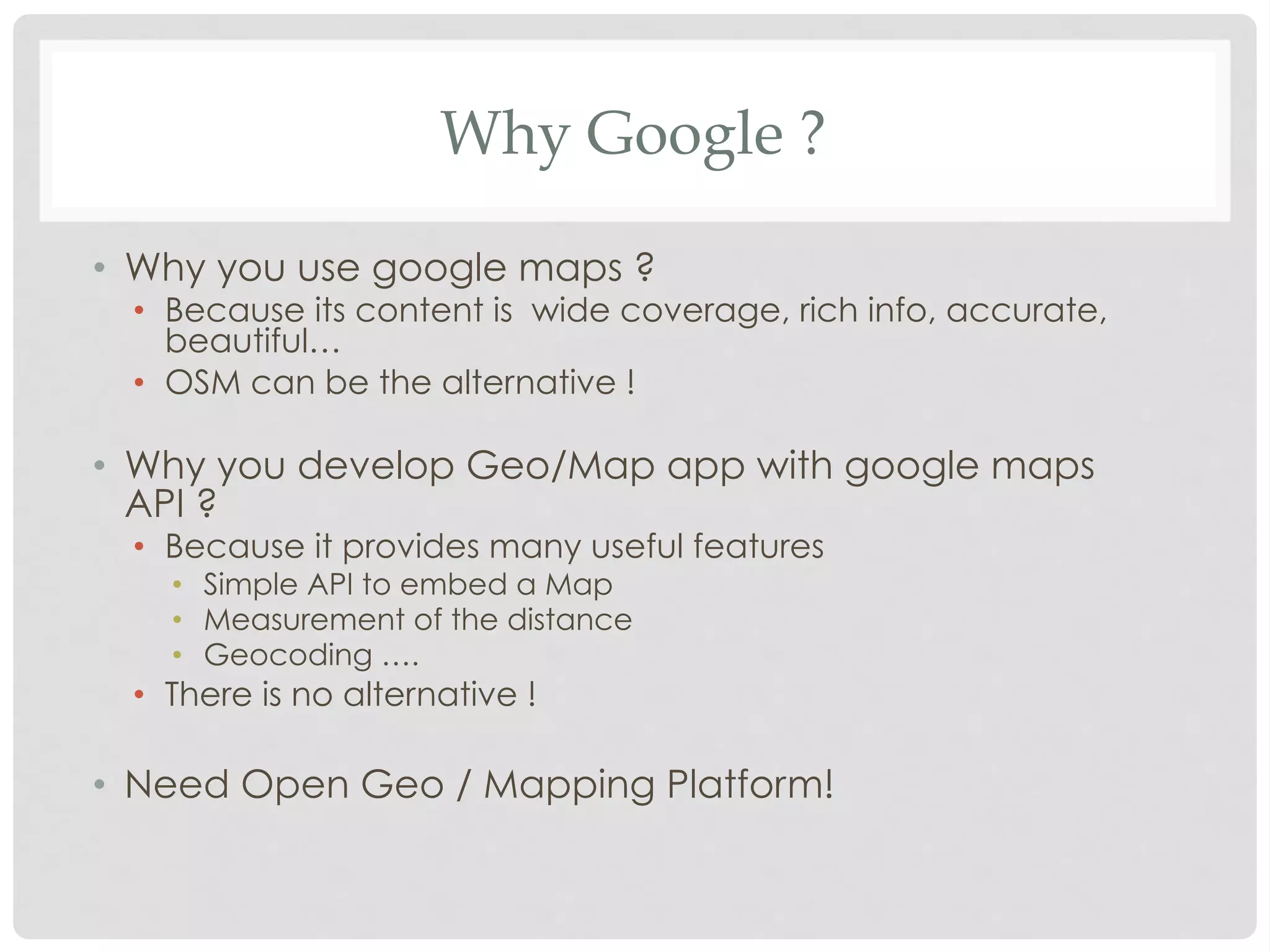
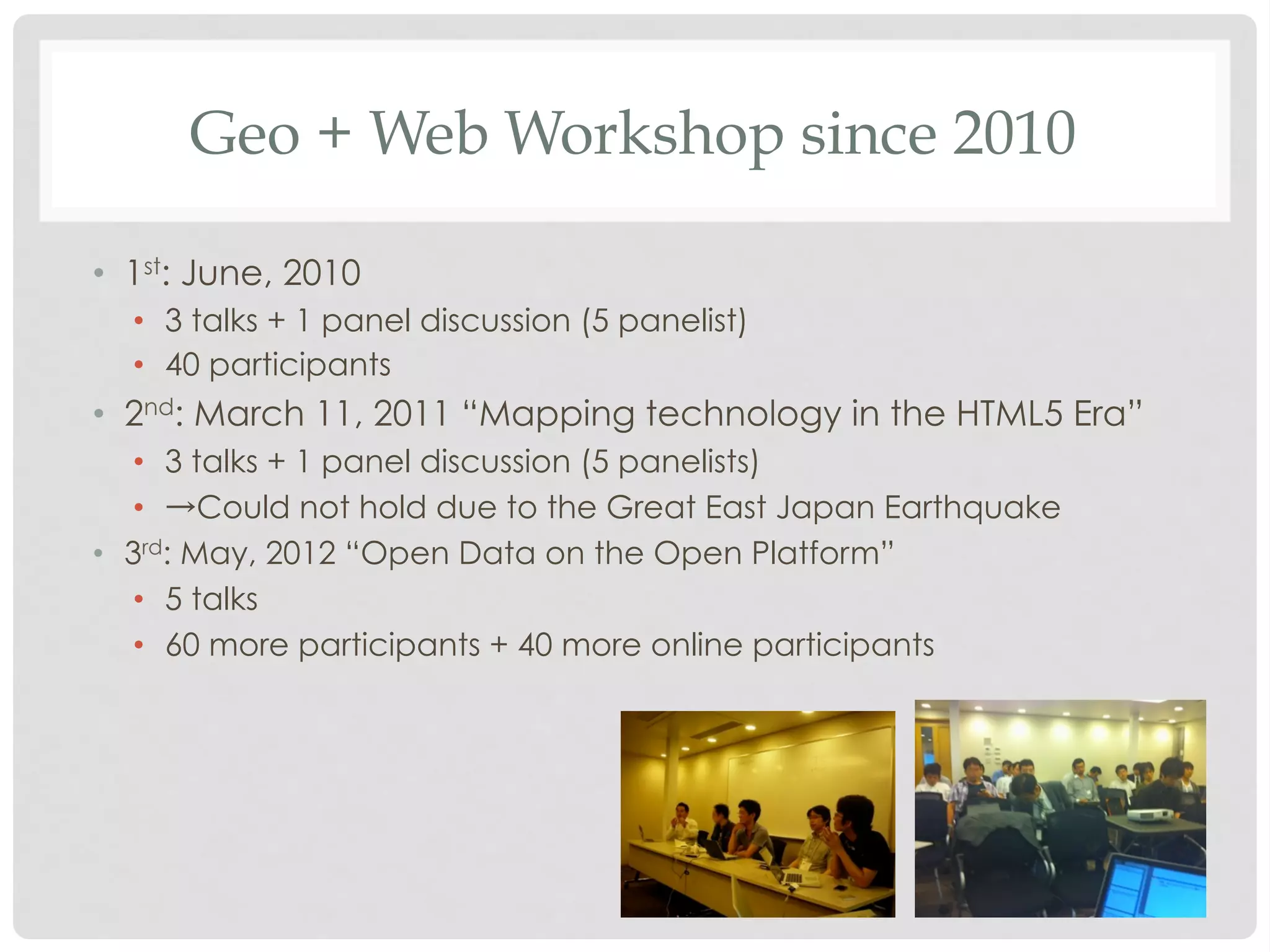


The document discusses the evolution of open data and open platforms, emphasizing the importance of open source movements and the democratization of technology and knowledge sharing among engineers. It highlights the challenges in creating interactive mapping applications with HTML5 due to the lack of standard geospatial features, as well as the potential of OpenStreetMap as an alternative to proprietary services like Google Maps. Workshops on geo and web technologies have been conducted to promote discussions and developments in this field, with a focus on creating a community around open data interoperability.