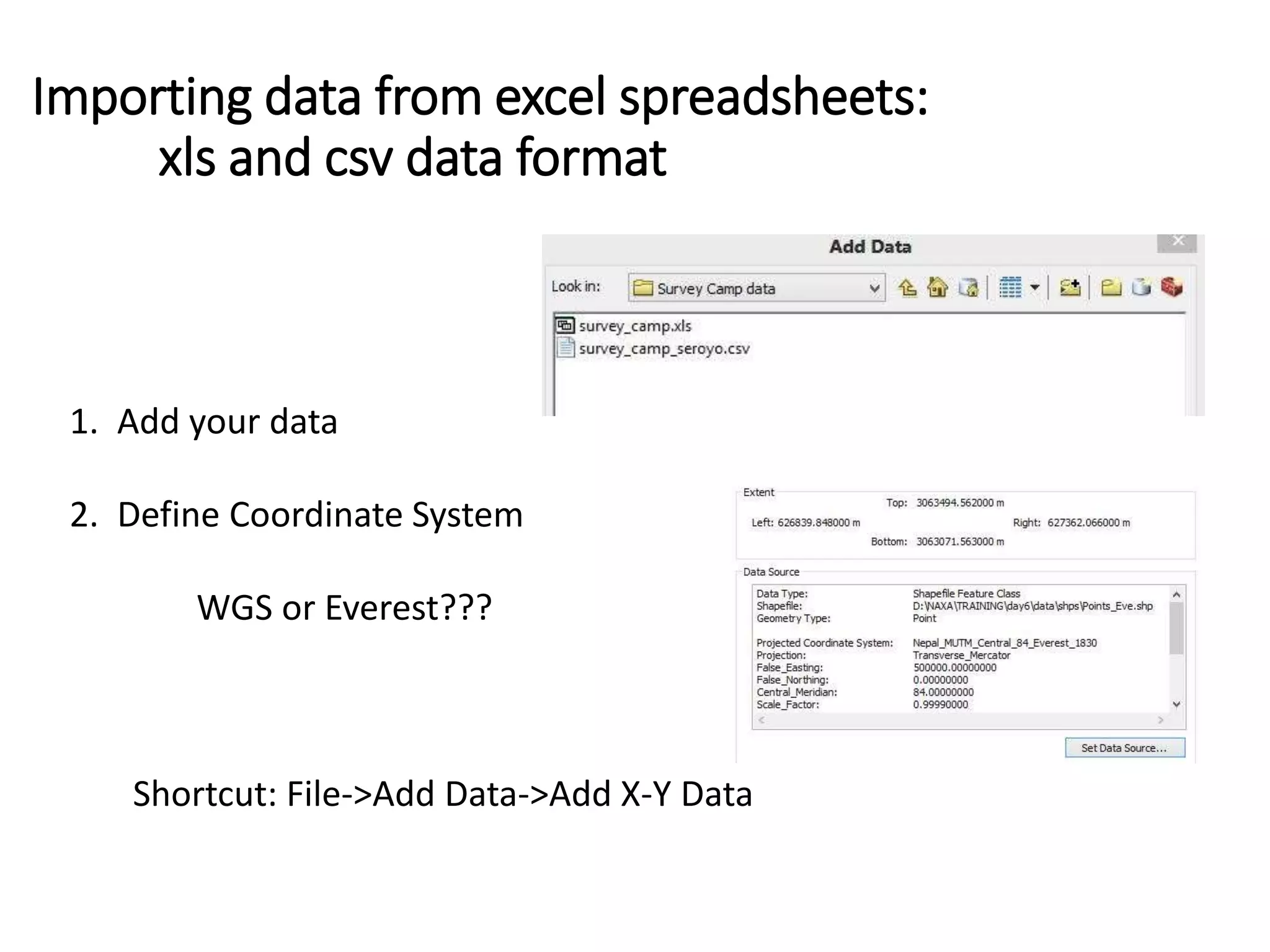
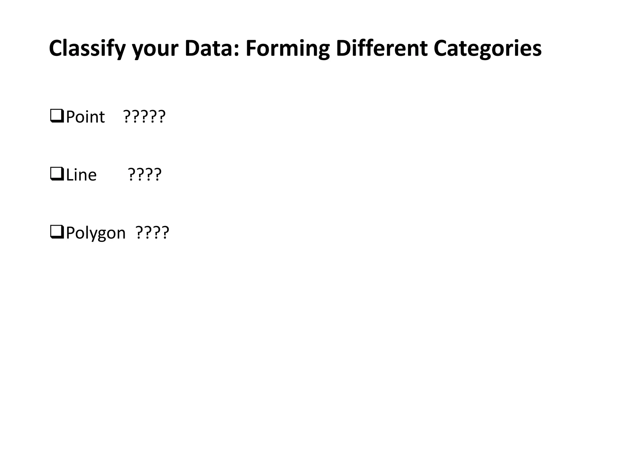
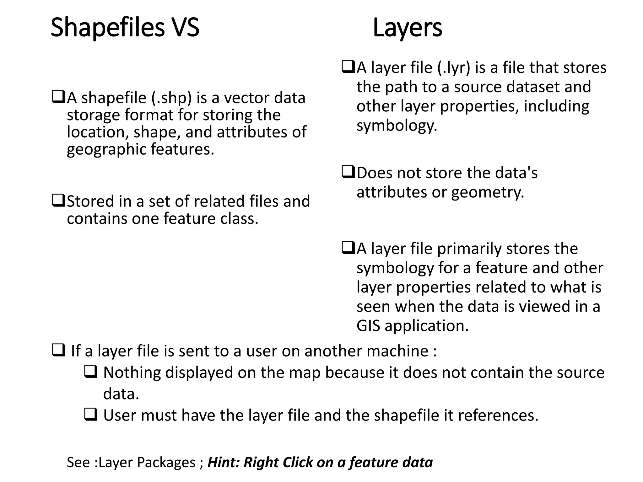
GIS Training –Day 6 @IOE, Pulchowk
Data Survey Camp, IOE Adding data : Vector Shapefiles (Previous Lecture) Coordinate data from excel (surveycamp.xls/surveycamp.csv) Image data (Online Source)  See : Shuttle Radar Topography Mission.pdf http://vterrain.org/Elevation/SRTM/
Coordinate data from Total Station Text to Columns
Importing data from excel spreadsheets: xls and csv data format 1. Add your data 2. Define Coordinate System WGS or Everest??? Shortcut: File->Add Data->Add X-Y Data
Data Contents (On the basis of remarks) bc bc che bc phy bcc be bld corner Bush CPn Drainage Edge Fench footpath gate Gc Gp Hedge Ladder pt Lc Ldp Library corner Mn Manhole Pc Poal pump Road rp Rp-curve Wall Wall-corner Wall edge
Classify your Data: Forming Different Categories Point ????? Line ???? Polygon ????
Shapefiles VS Layers A shapefile (.shp) is a vector data storage format for storing the location, shape, and attributes of geographic features. Stored in a set of related files and contains one feature class. A layer file (.lyr) is a file that stores the path to a source dataset and other layer properties, including symbology. Does not store the data's attributes or geometry. A layer file primarily stores the symbology for a feature and other layer properties related to what is seen when the data is viewed in a GIS application. See :Layer Packages ; Hint: Right Click on a feature data  If a layer file is sent to a user on another machine :  Nothing displayed on the map because it does not contain the source data.  User must have the layer file and the shapefile it references.
Online Materials
GIS Training IOE Facebook Group  https://www.facebook.com/groups/316600145217154/ SRTM Free DEM of the world Shuttle Radar Topography Mission

Adding data into GIS

  • 1.
    GIS Training –Day6 @IOE, Pulchowk
  • 2.
    Data Survey Camp, IOE Addingdata : Vector Shapefiles (Previous Lecture) Coordinate data from excel (surveycamp.xls/surveycamp.csv) Image data (Online Source)  See : Shuttle Radar Topography Mission.pdf http://vterrain.org/Elevation/SRTM/
  • 3.
    Coordinate data fromTotal Station Text to Columns
  • 4.
    Importing data fromexcel spreadsheets: xls and csv data format 1. Add your data 2. Define Coordinate System WGS or Everest??? Shortcut: File->Add Data->Add X-Y Data
  • 5.
    Data Contents (On thebasis of remarks) bc bc che bc phy bcc be bld corner Bush CPn Drainage Edge Fench footpath gate Gc Gp Hedge Ladder pt Lc Ldp Library corner Mn Manhole Pc Poal pump Road rp Rp-curve Wall Wall-corner Wall edge
  • 6.
    Classify your Data:Forming Different Categories Point ????? Line ???? Polygon ????
  • 7.
    Shapefiles VS Layers Ashapefile (.shp) is a vector data storage format for storing the location, shape, and attributes of geographic features. Stored in a set of related files and contains one feature class. A layer file (.lyr) is a file that stores the path to a source dataset and other layer properties, including symbology. Does not store the data's attributes or geometry. A layer file primarily stores the symbology for a feature and other layer properties related to what is seen when the data is viewed in a GIS application. See :Layer Packages ; Hint: Right Click on a feature data  If a layer file is sent to a user on another machine :  Nothing displayed on the map because it does not contain the source data.  User must have the layer file and the shapefile it references.
  • 8.
  • 9.
    GIS Training IOEFacebook Group  https://www.facebook.com/groups/316600145217154/ SRTM Free DEM of the world Shuttle Radar Topography Mission