AI-generated Key Takeaways
-
Learn how to make data features on your map clickable and respond to tap events.
-
Utilize tap events to reveal attribute information, such as displaying the 'acres' value for a park when tapped.
-
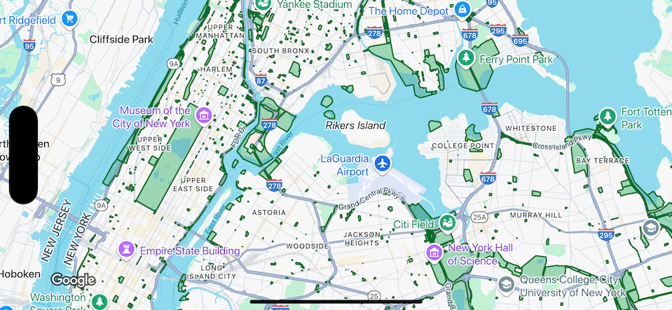
This functionality applies to dataset features, and the provided examples use a dataset of parks in New York City.
-
Invisible features (polygons with insufficient alpha) will not trigger tap events.
-
Code samples demonstrate how to implement this feature for Android, iOS, and JavaScript platforms.
Make data features respond to tap events, and use the event to display the value of an attribute for the tapped feature.
Handle dataset layer events
This example shows data features for a dataset with ID YOUR_DATASET_ID, and implements the delegate function to display the value of an attribute for the tapped feature.
In this example, the dataset shows parks in New York City. For each dataset feature, corresponding to a park, the dataset contains an attribute named acres containing the surface area of the park. For a tapped park, display the value of the acres attribute.
Swift
class SampleViewController: UIViewController { private lazy var mapView: GMSMapView = GMSMapView(frame: .zero, mapID: GMSMapID(identifier: "YOUR_MAP_ID"), camera: GMSCameraPosition(latitude: 40.7, longitude: -74, zoom: 12)) // Set default styles. view = mapView let style = FeatureStyle(fill: .green.withAlphaComponent(0.5), stroke: .green, strokeWidth: 2) mapView.datasetFeatureLayer(of: "YOUR_DATASET_ID").style = { _ in style } mapView.delegate = self } extension SampleViewController: GMSMapViewDelegate { func mapView(_ mapView: GMSMapView, didTap features: [Feature], in featureLayer: FeatureLayer<Feature>, atLocation: CLLocationCoordinate2D) { let toast = UIAlertController(title: "Area of park", message: (features.compactMap { ($0 as? DatasetFeature)?.datasetAttributes["acres"] }).joined(separator: ", "), preferredStyle: .alert) present(toast, animated: true, completion: nil) } }
Objective-C
@interface SampleViewController: UIViewController <GMSMapViewDelegate> @end @implementation SampleViewController - (void)loadView { GMSMapView *mapView = [GMSMapView mapWithFrame:CGRectZero mapID:[GMSMapID mapIDWithIdentifier:@"YOUR_MAP_ID"] camera:[GMSCameraPosition cameraWithLatitude:40.7 longitude:-74 zoom:12]]; mapView.delegete = self; // Set default styles. GMSFeatureStyle *style = [GMSFeatureStyle styleWithFillColor:[[UIColor greenColor] colorWithAlphaComponent:0.5] strokeColor:[UIColor greenColor] strokeWidth:2.0]; [_mapView datasetFeatureLayerOfDatasetID:@"YOUR_DATASET_ID"].style = ^(GMSDatasetFeature *feature) { return style; }; self.view = mapView; } - (void)mapView:(GMSMapView *)mapView didTapFeatures:(NSArray<id<GMSFeature>> *)features inFeatureLayer:(GMSFeatureLayer *)featureLayer atLocation:(CLLocationCoordinate2D)location { NSMutableArray<NSString *> *parkAreas = [NSMutableArray array]; for (id<GMSFeature> feature in features) { if (![feature isKindOfClass:[GMSDatasetFeature class]]) { continue; } NSString *nameDefinedInDataset = ((GMSDatasetFeature *)feature).datasetAttributes[@"acres"]; [parkAreas addObject:nameDefinedInDataset]; } UIAlertController *toast = [UIAlertController alertControllerWithTitle:@"Area of park" message:[parkAreas componentsJoinedByString:@", "] preferredStyle:UIAlertControllerStyleAlert]; [self presentViewController:toast animated:YES completion:nil]; } @end