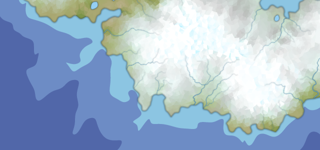
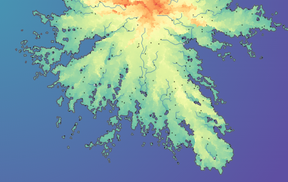
One of the core elements of any map is a map scale. Map scale is the ratio of a distance on the map to the corresponding distance on the ground. In terms of fantasy maps scale shows how big the world is and allows to calculate a distance between two points. A plausible world cannot be built without a … Continue reading Map scale
Styling the map
There are quite a lot of possibilities to manually style a generated map. I'm not going to describe them all and not going to make a tutorial, there will be a lot of changes in the future and current UI is in a draft version. Here just a quick presentation on how map can be styled … Continue reading Styling the map
Image to Heightmap converter
Two weeks ago I mentioned one more feature I want to add to make heightmap truly customizable — “get Heightmap from the image” function. I found the idea promising and now I want to describe the way it was implemented. Let's start from the idea I had. Currently there are 2 options for a heightmap customization: … Continue reading Image to Heightmap converter
Polygonal rivers and river editor
Even I've already wrote two posts about rivers and got a positive feedback, rivers are still a weak point and need to be re-worked. First thing you notice when you start to edit maps in vector graphics editor is that rivers are just a bunch of separate curved segments with different width. I had to use this … Continue reading Polygonal rivers and river editor
Templates implementation and Heightmap editor UI
In one of the previous posts I covered a concept of heightmap templates. Now I want to describe how it was implemented and aligned with a new Heightmap editor. The Heightmap is a core element of the map generation and I want to give users ways to control over it. By default map is getting generated in … Continue reading Templates implementation and Heightmap editor UI
Settlements, Regions, Routes and Labels
It's time to cover some stuff not related to a heightmap or biomes. This is a first narration of this kind and I'm going to cover most of them right in this post. These topics are settlements, regions, routes and labels. It's not like I don't want to describe every topic separately, but I spent months to … Continue reading Settlements, Regions, Routes and Labels
Coastline extension and Heightmap templates
Three months passed since the previous post. Too much time and so little done, but the work had never stopped. Going with the baby steps I have reworked some basic functional, including a heightmap generation I want to cover in this post. I was quite happy with the heightmap and coastlines I got, but there were a couple … Continue reading Coastline extension and Heightmap templates
Biomes generation and rendering
We have already generated and rendered a heightmap, and now it's time to add the next map layer — vegetation map based on biomes definition. The theme is boundless, but I'm going to cover both biomes generation and rending in a single post. The first reason that I'm a bit tired of it, the second … Continue reading Biomes generation and rendering
Heightmap rendering
One of my first posts was devoted to a heightmap generation and now it's time to talk about heightmap rendering. Most map generators consider heightmap as a technical thing only, but I believe it's beautiful as is and with some improvements could be used as one of the main map layers. As of now I've added 5 different heightmap … Continue reading Heightmap rendering
Confluences
The previous post was mostly devoted to the Fluvial Network calculation and rivers rendering was not covered enough. I stayed on the straightforward and even unexpected solution: draw rivers based on their length only. It’s rather elegant, but tributaries don’t increase the main stem volume and this may be a problem. In real world tributaries … Continue reading Confluences