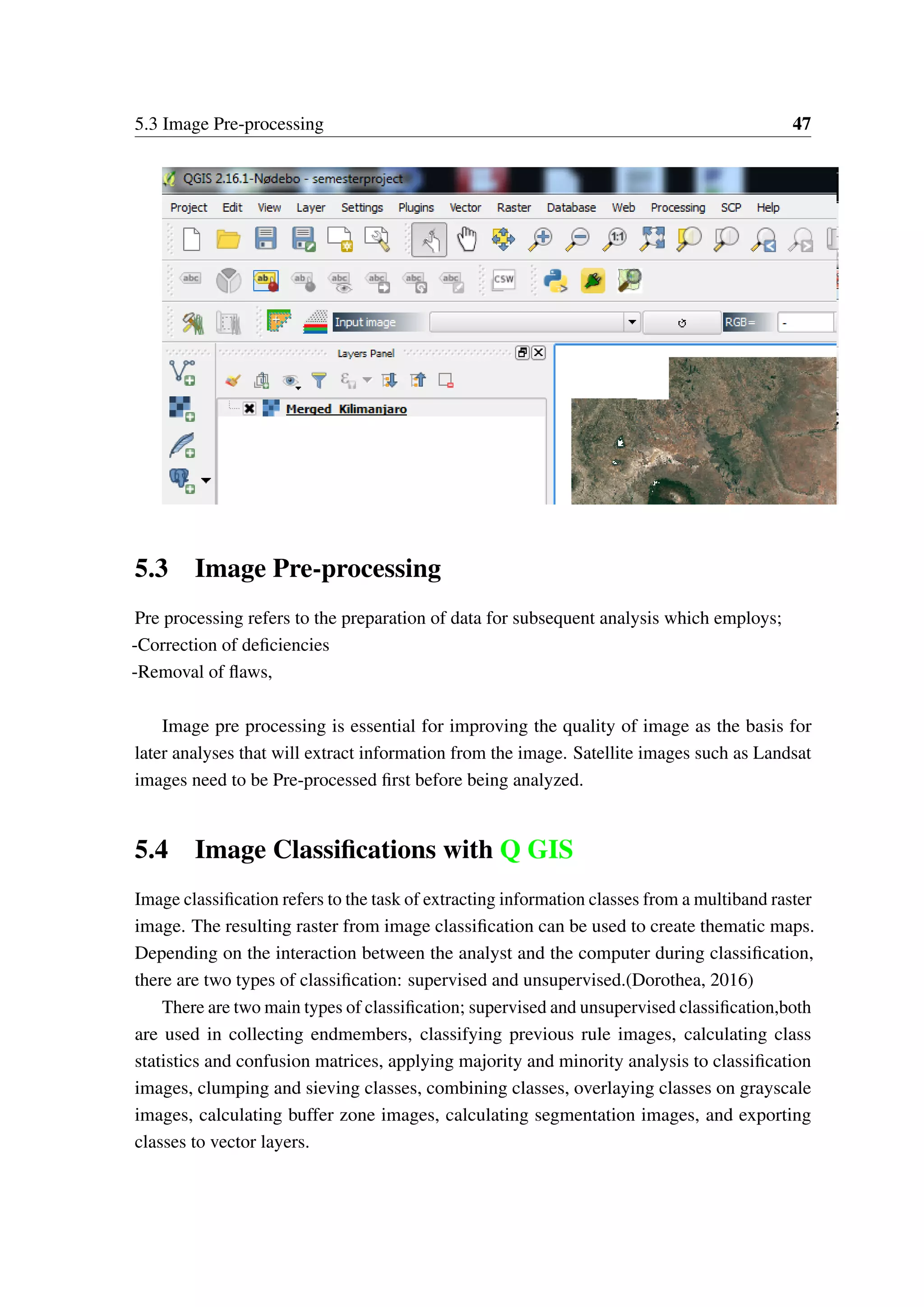
This document provides an introduction to spatial data analysis using open source software R. It discusses spatial data concepts like spatial reference systems and coordinate reference systems. It describes how to create, load and visualize spatial point, line and polygon data in R. It also covers digital image processing and classification in QGIS. Methods discussed include spatial point pattern analysis, interpolation, geostatistics, spatial modeling and accuracy assessment. The document uses data from Kilimanjaro region as an example to demonstrate these spatial analysis techniques in R and QGIS.


![Spatial_Data_Analysis_with_open_source_softwares[1]](https://image.slidesharecdn.com/8db4d971-8e8c-4fd8-8682-b20e5d6cd65f-161221072847/75/Spatial_Data_Analysis_with_open_source_softwares-1-76-2048.jpg)