ArcGIS overview
Learn about Esri’s comprehensive geospatial platform


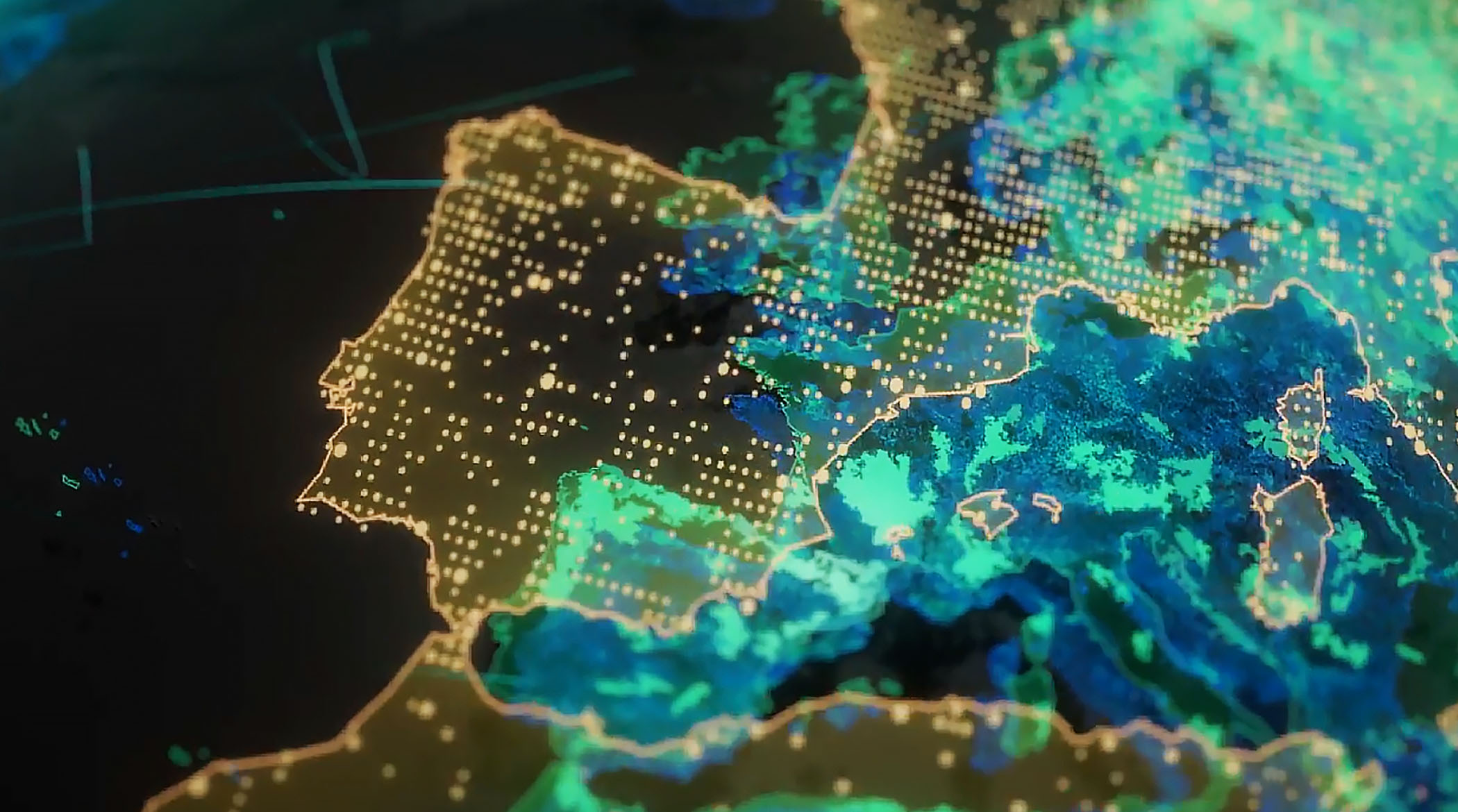
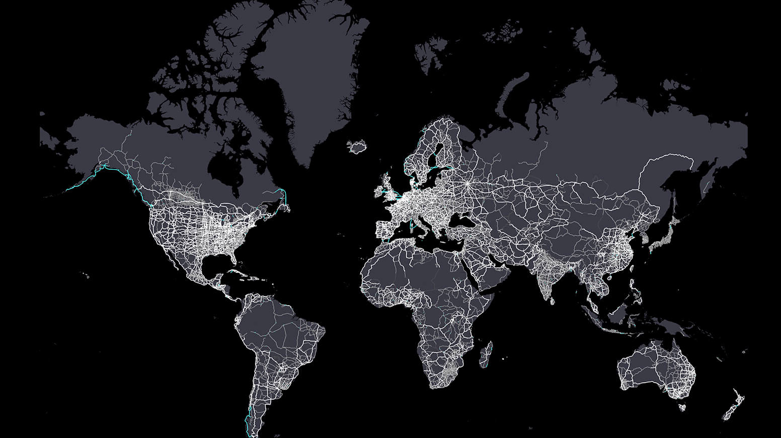
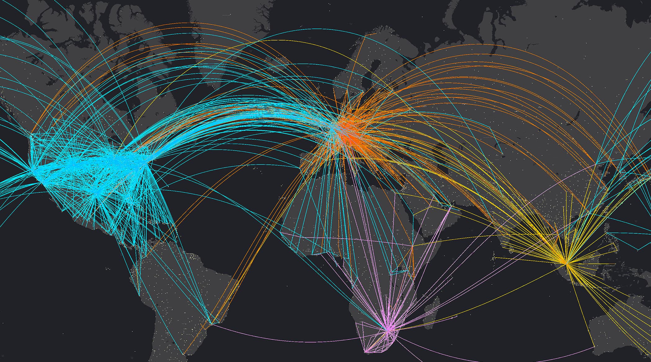
ArcGIS is enterprise technology that integrates and connects data through the context of geography.
Leading organizations in virtually every field use Esri technology to support daily operations and guide long-term strategies. Explore stories of organizations innovating with ArcGIS.
Public safety
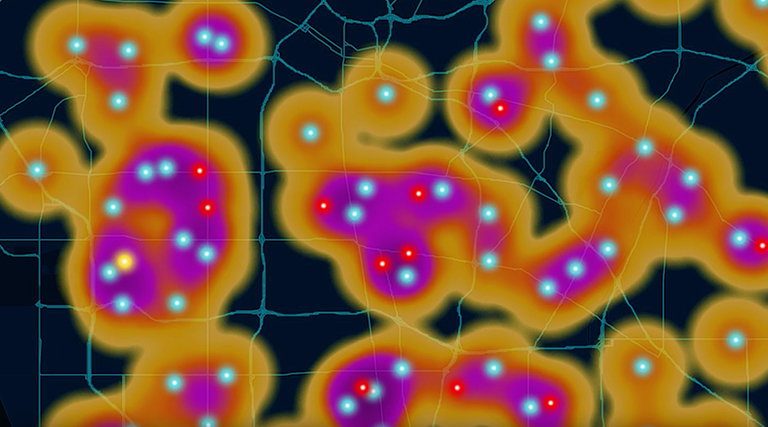
As California wildfires grow more frequent and intense, the state’s fire department relies on GIS mapping to combat the threat. GIS software helps CAL FIRE teams stay one step ahead—mapping danger in real time, making split-second decisions, and planning for a safer, more resilient future.
Sustainability and risk
At global accounting firm PricewaterhouseCoopers (PwC), consultants map looming water supply risks with powerful GIS mapping software. They use the technology to assist clients in fields like agriculture, manufacturing, and technology as they assess and respond to water supply hazards.

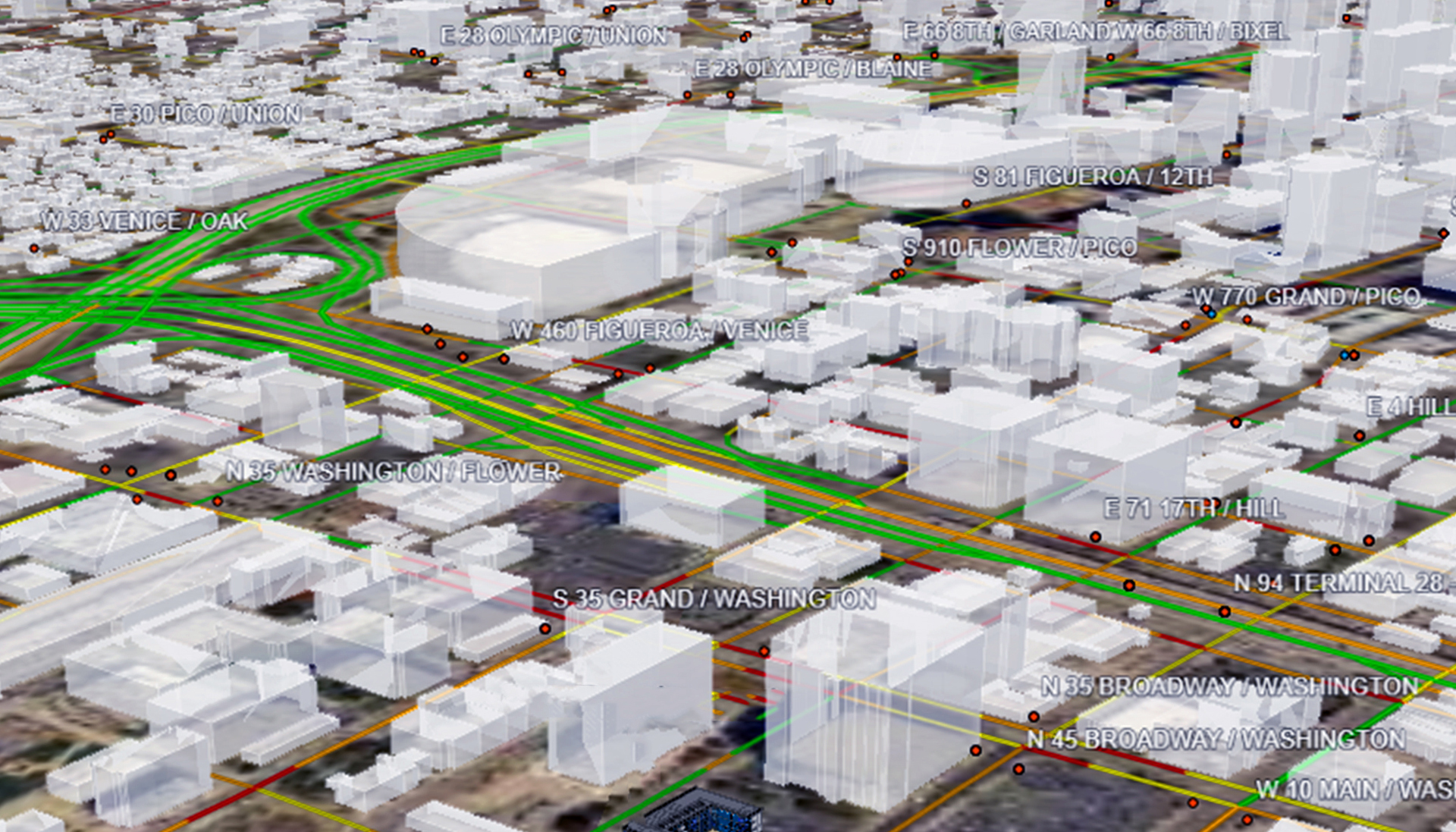
Infrastructure
Houston Public Works digitally transformed its infrastructure management by integrating GIS software, AI, mobile apps, and real-time data. Live asset tracking and situational awareness tools enhance operational efficiency and emergency response.

Product releases, upcoming events, partnerships, and more from Esri